How to Use Free Satellite Data to Monitor Natural Disasters and Environmental Changes

- Author: Qiusheng Wu
- Full Title: How to Use Free Satellite Data to Monitor Natural Disasters and Environmental Changes
- Category: articles
- Document Tags: #planet
- URL: https://theconversation.com/how-to-use-free-satellite-data-to-monitor-natural-disasters-and-environmental-changes-198140
Highlights
- Landsat: The longest-running Earth satellite mission, Landsat, has been collecting imagery of the Earth since 1972. The latest satellite in the series, Landsat 9, was launched by NASA in September 2021. (View Highlight)
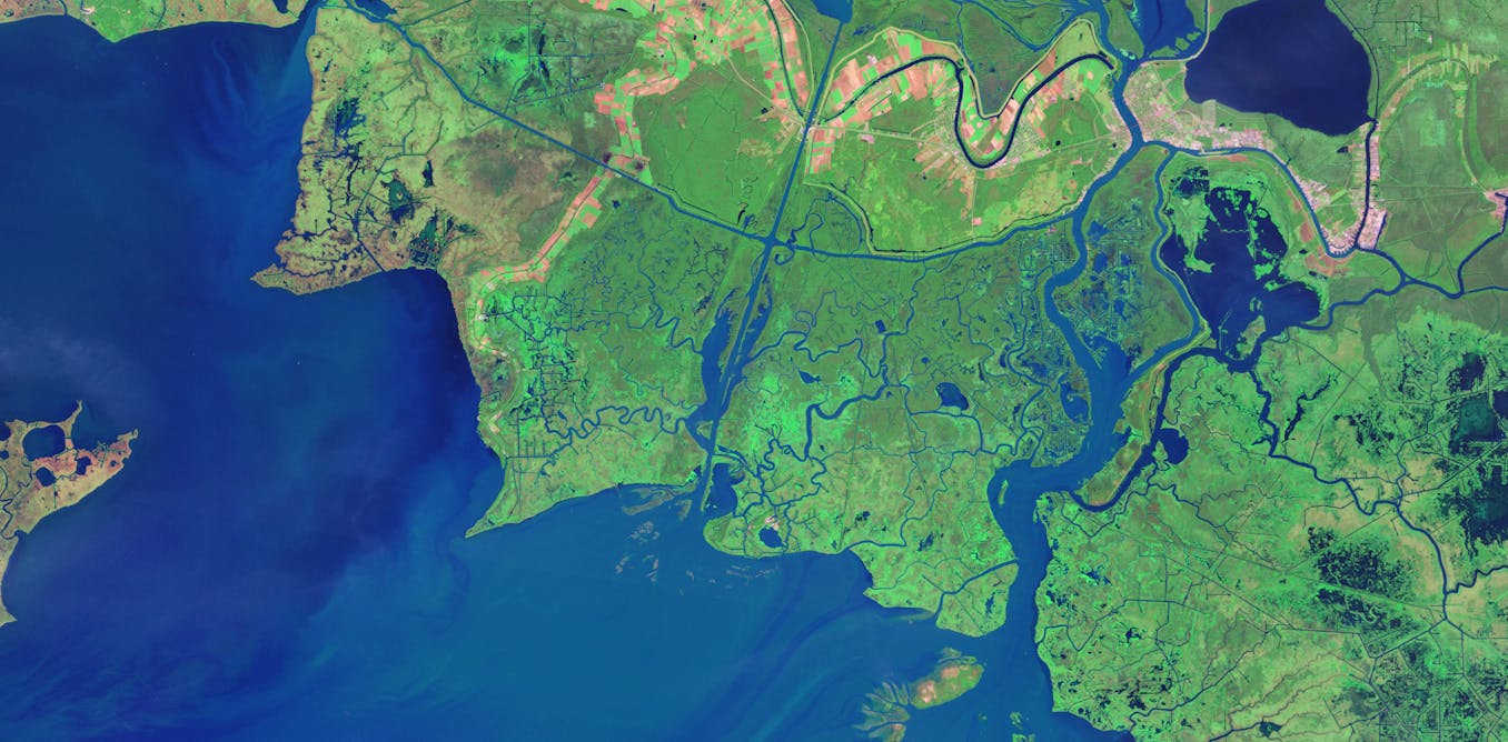
- In general, Landsat satellite data has a spatial resolution of about 100 feet (about 30 meters). If you think of pixels on a zoomed-in photo, each pixel would be 100 feet by 100 feet. Landsat has a temporal resolution of 16 days, meaning the same location on Earth is imaged approximately once every 16 days. With both Landsat 8 and 9 in orbit, we can get a global coverage of the Earth once every eight days. That makes comparisons easier. (View Highlight)
- Sentinel: Sentinel Earth observation satellites were launched by the European Space Agency (ESA) as part of the Copernicus program. Sentinel-2 satellites have been collecting optical imagery of the Earth since 2015 at a spatial resolution of 10 meters (33 feet) and a temporal resolution of 10 days. (View Highlight)
- GOES: The images you’ll see most often in U.S. weather forecasting come from NOAA’s Geostationary Operational Environmental Satellites, or GOES. They orbit above the equator at the same speed Earth rotates, so they can provide continuous monitoring of Earth’s atmosphere and surface, giving detailed information on weather, climate, and other environmental conditions. GOES-16 and GOES-17 can image the Earth at a spatial resolution of about 1.2 miles (2 kilometers) and a temporal resolution of five to 10 minutes. (View Highlight)
- There are several other useful tools for easily creating satellite animations. Others to try include Snazzy-EE-TS-GIF, an Earth Engine App for creating Landsat animations, and Planetary Computer Explorer, an explorer for searching and visualizing satellite imagery interactively. (View Highlight)
